
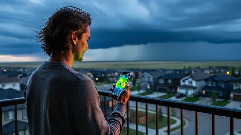
Weather radar for Airdrie, AB is available through Environment Canada’s national weather service, which provides real-time radar maps, satellite images, and animations for local and regional conditions. Residents can access these tools directly through dedicated Airdrie forecast pages that display current precipitation patterns, storm movements, and weather system developments across the region.
Understanding live weather conditions isn’t just about planning your day. It’s a practical form of environmental awareness that helps you make informed decisions about energy use, outdoor activities, and safety. When you know a storm system is approaching, you can adjust thermostat settings before severe weather hits, secure outdoor equipment, or delay travel until conditions improve.
Environment Canada’s radar network undergoes routine maintenance approximately every two months, scheduled during periods when severe weather is least likely. This maintenance ensures the accuracy and reliability of the data you depend on for real-time weather tracking. While brief outages occur during these service windows, they’re planned to minimize disruption to weather monitoring.
For environmentally conscious Albertans, weather radar serves a broader purpose beyond immediate forecasts. Tracking precipitation patterns and storm systems helps you understand local climate conditions that influence solar and wind investment decisions, agricultural planning, and water conservation strategies. The same weather systems that bring rain to your neighborhood determine wind generation capacity and solar panel efficiency across the province. By regularly checking Airdrie’s weather radar, you’re tapping into the same atmospheric data that powers climate-conscious decision-making throughout Alberta.
Understanding Weather Radar Technology and Its Environmental Importance
Weather radar works by sending out pulses of electromagnetic energy that bounce off precipitation particles in the atmosphere and return to the receiving station. The system measures how long each pulse takes to return and how strong the signal is, which tells meteorologists where precipitation is located, how intense it is, and which direction it’s moving. Modern Doppler radar adds another layer by detecting motion, showing whether storms are moving toward or away from the radar site and revealing rotation patterns that could indicate severe weather like tornadoes.
For Airdrie residents, access to real-time radar data means you can see developing weather systems before they arrive, giving you time to secure outdoor equipment, adjust travel plans, or prepare your home. This advance warning becomes particularly valuable during Alberta’s volatile weather seasons when conditions can shift from clear skies to severe thunderstorms within an hour or two.
Beyond personal safety, radar monitoring plays a critical role in environmental planning and climate pattern documentation. Consistent radar coverage creates a historical record of precipitation patterns, storm frequency, and weather intensity that scientists use to track how climate change is affecting regional conditions. For households and businesses with solar panels or small wind installations, radar data provides essential information for protecting equipment before hailstorms and understanding seasonal weather patterns that affect energy production. The ability to monitor approaching weather systems helps you make informed decisions about energy storage, backup power needs, and system maintenance schedules.
Accessing Weather Radar for Airdrie, AB
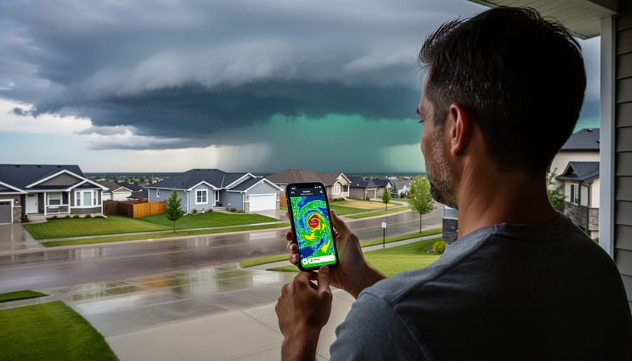
Airdrie residents have two primary sources for weather radar coverage: Environment Canada and The Weather Network. Both services offer free access to real-time radar data that covers the Airdrie area, giving you multiple ways to monitor approaching weather systems.
Environment Canada provides the most comprehensive radar access through their weather radar and satellites service. You can view national radar maps that show weather patterns across the entire country, regional maps that focus on Alberta and surrounding provinces, or local radar maps that zero in on conditions around Airdrie specifically. The service includes both static radar images and animations that loop recent radar scans, letting you see how weather systems are moving and whether they’re heading toward your location. These animations typically cover the past few hours, which helps you spot developing patterns before they arrive.
The Weather Network offers similar radar coverage through their Airdrie forecast page, which includes a dedicated Radar Map section. This provides another angle on the same weather data and can be useful if one service is temporarily slow or unavailable.
When you access these radar maps, you’ll notice different view options. National views help you understand large-scale weather patterns moving across the prairies, which is particularly useful during winter storms or when tracking chinook systems. Regional views zoom in on Alberta, showing you weather across multiple radar stations for context about what’s approaching from the west or north. Local views focus tightly on the area immediately around Airdrie, giving you the most detailed picture of precipitation and storm cells within roughly 250 kilometres.
The colour coding on radar maps indicates precipitation intensity, greens show light rain or snow, yellows and oranges indicate moderate precipitation, and reds signal heavy precipitation or potential severe weather. For anyone with solar panels or wind turbines, checking these views before major weather events helps you prepare equipment and anticipate generation interruptions.
What to Know About Radar Maintenance and Service Interruptions
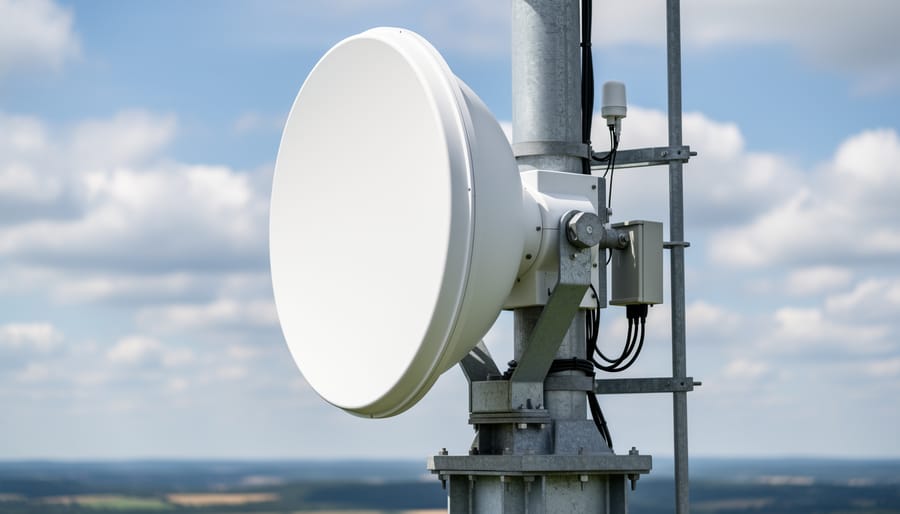
Weather radar systems require regular upkeep to maintain accuracy and reliability. Environment Canada takes radars offline roughly every two months for routine maintenance, a necessary process that ensures the equipment continues to deliver precise data when you need it most. These scheduled outages typically last a few hours and are carefully planned during periods when severe weather is statistically unlikely to occur.
Maintenance timing isn’t random. Technicians analyze historical weather patterns and seasonal forecasts to schedule work during low-risk windows, minimizing the chance that radar will be unavailable when storms threaten. That said, unexpected technical issues can occasionally force unplanned outages.
You can check radar status directly through Environment Canada’s weather radar service page, which maintains an updated list of radar outages and maintenance schedules. This same system provides both national and regional radar coverage, so if the closest radar is offline, you can often view data from neighboring stations for a broader weather picture.
When radar is temporarily unavailable, rely on satellite imagery, surface weather observations, and forecast discussions from Environment Canada. These tools won’t show precipitation intensity with radar’s detail, but they’ll keep you informed about approaching systems. Local weather stations and apps aggregate multiple data sources, offering useful redundancy during maintenance windows.
Reading Weather Radar Data: What Airdrie Residents Should Watch For
When you open a weather radar map for Airdrie, you see color-coded imagery that reflects precipitation intensity. Greens and yellows indicate light to moderate rain or snow, while oranges and reds signal heavier precipitation. Intense red or magenta zones often accompany severe thunderstorms or hail. Learning to recognize these patterns helps you make quick decisions about outdoor activities and protect vulnerable equipment.
Alberta’s summer thunderstorms develop rapidly, often within 30 to 60 minutes. Watch for compact, intensely colored cells moving northeast across the radar screen. These storms can produce hail, damaging winds, and heavy rain. If you have solar panels or wind turbines, tracking these systems gives you time to secure loose components or shut down equipment if conditions warrant. Hail poses the greatest threat to solar installations, so red-colored cells demand immediate attention.
Winter storms present differently on radar. Broad areas of lighter colors spread across larger zones, indicating widespread snow rather than localized downpours. The challenge in winter comes from temperature, not just radar imagery. Chinook winds, unique to Alberta, can raise temperatures by 15 to 20 degrees in hours, causing snow to melt or freeze repeatedly. Radar shows precipitation, but combine that data with temperature forecasts to understand ice loading risks on solar arrays or wind turbine icing conditions.
Check radar direction and speed by watching animation loops. Fast-moving systems may pass quickly, while slow or stationary cells can dump excessive moisture in one area. For renewable energy systems, prolonged storms affect output and may require post-storm inspections for debris or moisture damage.
Pay attention to radar gaps or fuzzy areas during chinook events. These warm, dry winds can create unusual atmospheric conditions that radar struggles to interpret. Cross-reference radar with surface observations and forecasts when the imagery looks unclear. Understanding what radar shows, and what it cannot show, makes you a more informed weather observer and better prepared to protect both your safety and your investments in renewable technology.
Weather Awareness and Climate Resilience in Airdrie
Checking weather radar regularly does more than help you plan your day, it builds the environmental awareness Airdrie residents need as climate patterns shift. Alberta’s weather has become less predictable over the past decade, with more frequent temperature swings, intense rainfall events, and unexpected hail storms. When you track these patterns through radar, you start recognizing how local conditions are changing and can adapt your home and habits accordingly.
For residents with solar panels or small wind turbines, radar monitoring becomes essential infrastructure protection. A sudden hailstorm can damage solar arrays if you don’t secure loose components or adjust panel angles when severe weather approaches. Understanding incoming wind patterns helps you anticipate when to check turbine stability and prevents damage from unexpected gusts. These aren’t just equipment concerns, they’re about maximizing your investment in clean energy while adapting to climate variability.
Weather awareness also shapes smarter conservation decisions. When radar shows a major storm system approaching, you can pre-cool your home, charge devices, and prepare for potential power disruptions without panic. During extended dry periods visible in radar precipitation patterns, you adjust outdoor water use and understand why energy demand spikes. Recognizing these connections between weather, energy consumption, and environmental impact makes you a more resilient, informed resident.
The wind energy challenges Alberta faces, variable wind speeds, extreme temperature ranges, icing conditions, affect home systems too. By monitoring radar alongside temperature and wind data, you develop practical climate literacy that guides everything from renewable energy timing to emergency preparedness.
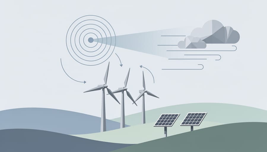
Weather radar serves as more than a convenience, it’s a vital resource connecting personal safety, environmental awareness, and climate resilience. For Airdrie residents, free access to Environment Canada’s radar maps and animations empowers you to make informed decisions about everything from daily activities to energy conservation strategies. Understanding when storms approach helps protect renewable energy installations, plan efficient energy use, and reduce unnecessary resource consumption during severe weather.
Bookmark your local radar resources today and make weather awareness part of your routine. Check conditions before outdoor activities, monitor patterns that affect your solar panels or garden, and stay alert to changing climate trends in our region. By connecting weather knowledge with environmental action, you become better prepared for both immediate events and long-term climate shifts. Your awareness matters, for your safety, your community, and the planet we share.