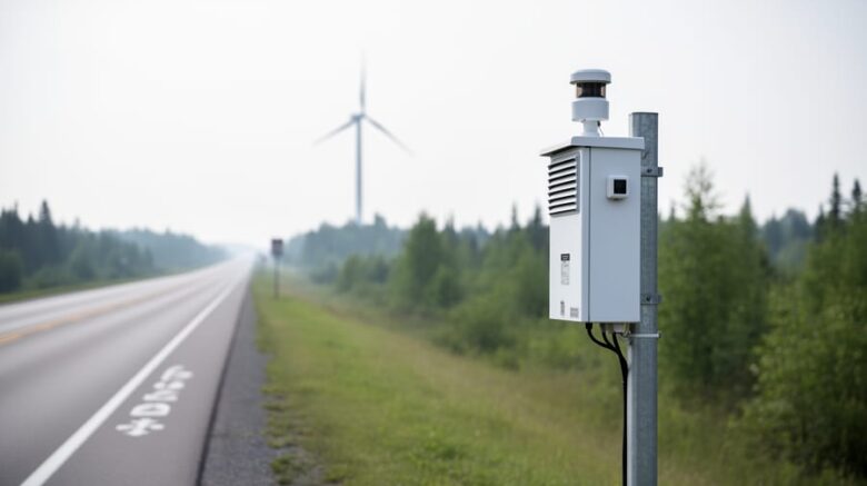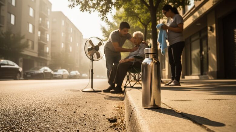
Environment Canada’s Air Quality Health Index (AQHI) provides a real-time scale from 1 to 10+ that translates outdoor air pollution levels into immediate health guidance you can act on today. Whether smoke from distant wildfires is drifting into your region or local traffic emissions are peaking, checking the AQHI takes less than two minutes and tells you exactly when to …
Environment Canada Air Quality: How to Access Data, Understand the AQHI, and Monitor Local Conditions