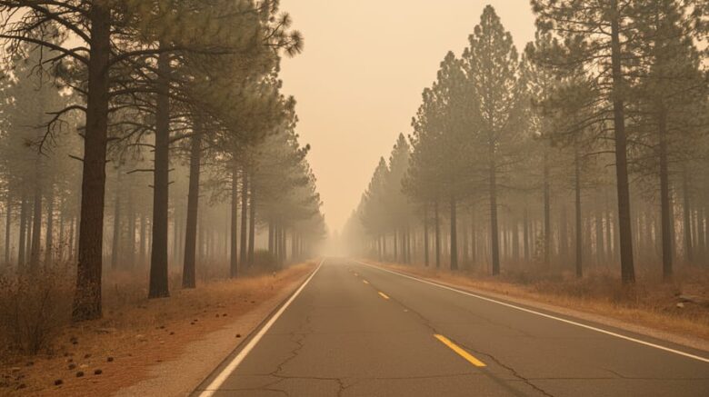
Wildfire smoke from Canada is drifting deep into the United States, and wind is the reason. Local outlets like Castanet have been tracking the fires, and the latest reports point to nearly 900 wildfires burning across Canada, with more than 200 listed as out of control. Fine particles in that smoke can travel hundreds of miles on prevailing winds, which is why air quality alerts on Friday stretched from the Midwest to the Great Lakes, the Northeast, and the Mid-Atlantic, touching cities like Chicago, Detroit, Washington, D.C., and Philadelphia. The smoke spans from Duluth, Minnesota, to Richmond, Virginia.
Wind doesn’t just carry smoke. It can fuel the fires themselves. Strong gusts and lightning could spark new blazes in Ontario, and passing showers may not be enough to put the existing ones out. Rain chances return Saturday and again Tuesday, but the winds could make conditions worse before then.
Here’s what that means for you, and how to follow the shifting air through the days ahead. Check your local air quality index, which includes fine particulate matter, and share what you notice with your community.
What Changed: Canadian Wildfire Smoke Is Now an Air Quality Story Across Two Countries
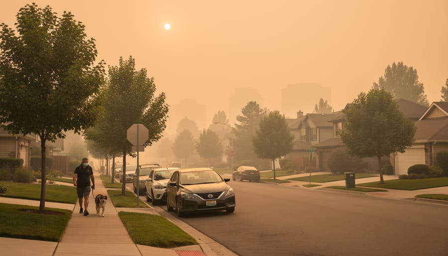
The wildfire picture in Canada has shifted from a regional problem to a cross-border air quality story. Reports now describe nearly 900 wildfires burning across the country, with more than 200 categorized as out of control. In plain terms, that means crews are not currently containing those fires, so they keep producing smoke.
That smoke has traveled well past the fire zones. As of the July 16, 2026 update, alerts across the Midwest, the Great Lakes, the Northeast, and the Mid-Atlantic show how far the plume has spread.
Local outlets like Castanet help by putting the story in a regional, human context, but they aren’t a live monitor. For current readings, check official sources, including AQHI data for your area.
One term worth knowing is fine particulate matter. These are tiny airborne particles, small enough to travel deep into the lungs, and they are part of the air quality index used in tracking this event.
Key Developments in the Smoke and Wind Story
1. Nearly 900 Wildfires Are Burning in Canada, With Over 200 Out of Control
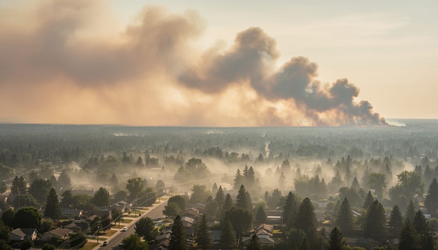
Canada currently has nearly 900 wildfires burning, and more than 200 of them are categorized as out of control. That second number is the one to focus on.
“Out of control” doesn’t mean a fire is huge or unstoppable forever. It means crews and current firefighting efforts aren’t containing it. The fire is still spreading or growing, and its edges aren’t secured. Think of it like a spill you can’t yet mop up: until the boundary holds, the problem keeps expanding.
That distinction matters for smoke. A fire that isn’t contained keeps feeding smoke into the air day after day. With more than 200 fires in that category, there’s a steady supply of smoke for the wind to pick up and carry across borders, as updated on July 16, 2026.
2. Air Quality Alerts Stretch From the Midwest to the Mid-Atlantic
Air quality alerts reported on Friday stretch across a wide swath of the eastern half of the country. The smoke isn’t staying near the fires. Winds are pushing it hundreds of miles, and the alerts follow its path.
Here’s what the reported alert area covers:
- The Midwest, where Chicago is among the major cities affected.
- The Great Lakes region, including Detroit.
- The Northeast, which falls inside the alert zone.
- The Mid-Atlantic, including Washington, D.C., and Philadelphia.
- Fine particulate matter, the pollutant included in the air quality index used in the tracking.
Fine particulate matter is the key detail. These tiny particles are small enough to travel deep into the lungs, which is why smoke alerts get issued even when the sky just looks hazy. I’m not quoting specific index readings here, since those weren’t verified, and they change hour to hour anyway. For the numbers where you live, check your local air quality monitor.
3. Smoke Spans Duluth, Minnesota, to Richmond, Virginia
Picture a line drawn from Duluth, Minnesota, down to Richmond, Virginia. According to the July 16, 2026 update, that’s roughly how far the smoke stretched across the U.S. on Friday. It’s a sprawling span covering a big slice of the country, and none of those places sits anywhere near a fire.
So how does smoke get that far? Mostly through wind. Smoke rises high into the air and gets caught in the prevailing winds, which act like a conveyor belt, carrying tiny particles hundreds or even thousands of miles from where the fires burn. The lighter the particles, the longer they stay aloft and the farther they drift.
That’s why a fire burning in Canada can affect air quality in a city that has never seen a flame. Smoke doesn’t stop at a border. It follows the wind, and wind doesn’t care about maps.
4. Strong Winds and Lightning Could Spark New, More Erratic Fires
Wind does more than push smoke around. It also changes how a fire behaves. Strong gusts fan the flames, feeding them more oxygen, and they can carry burning embers ahead of the main fire line. Those embers can land on dry ground and start new fires, which makes the blaze harder to predict and harder to contain.
Lightning adds another layer of risk. A single strike can ignite dry vegetation, and storms that arrive with little rain can leave fresh fires burning in remote areas. Strong winds and lightning together could spark new fires and create more erratic fire activity.
Ontario may see passing showers and thunderstorms on Friday, which sounds like welcome news. But that rain won’t be enough to put the wildfires out, and the winds that come with those storms may make conditions worse. More chances for rain are expected over Ontario on Saturday and again on Tuesday. For now, treat any rain as a short pause rather than a fix.
Why It Matters: How Wind Connects Wildfire Smoke, Air Quality, and Clean Energy
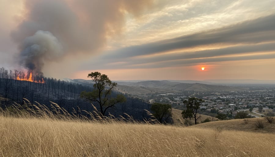
Wind is the delivery system for wildfire smoke. A fire burning in Canada doesn’t stay a Canadian problem once the air starts moving, and that’s why people far from any flames end up checking air quality before a run or a kids’ soccer game. Reports of unhealthy air quality alerts reaching the Midwest, Great Lakes, Northeast and Mid-Atlantic show how one weather pattern can touch millions of people at once. If you want the science behind it, our guide to AQHI and wind explains how air movement shapes what we breathe.
For this site’s audience, the bigger lesson is that weather and wind patterns aren’t abstract. They decide where smoke goes, how long it lingers, and who needs to change their plans. Moments like this also tend to sharpen interest in clean energy options, since air quality is something everyone shares.
The practical steps are simple, and they come from general public guidance rather than anything dramatic.
When alerts are active, limiting strenuous outdoor activity is a sensible precaution, especially for children, older adults and anyone with breathing concerns.
What to Watch Next: Rain Chances, Shifting Winds, and Smoke Forecasts
For the next few days, the main thing to watch is rain in Ontario. Forecasts show more chances for rain on Saturday and again on Tuesday. Don’t read too much into that, though. Showers don’t guarantee the fires will go out, and Friday’s passing showers and thunderstorms were not expected to be enough to put them out. Winds, which can fan flames and carry smoke, may even make conditions worse.
Wind shifts matter just as much. Smoke has covered a huge stretch, from Duluth, Minnesota, to Richmond, Virginia, and a change in wind direction can move it onto cities that have been spared so far, or clear it from others. Lightning and gusty winds could also start new, more erratic fires.
Forecasts can change quickly, so check your local weather service and official air quality tools rather than relying on a single report. If an alert is active in your area, take it seriously and limit strenuous time outdoors.
Frequently Asked Questions About Wildfire Smoke and Wind
Why does smoke from Canadian wildfires reach U.S. cities?
Wind does the carrying. Smoke rises into the air and gets pushed along by prevailing winds, which is how it can span a distance like Duluth, Minnesota, to Richmond, Virginia, far from the fires themselves.
What is fine particulate matter?
It’s made up of tiny airborne particles, small enough to travel deep into your lungs. It’s one of the pollutants included in the air quality index used for tracking smoke.
Will rain clear the smoke?
Not necessarily. Passing showers in Ontario won’t be enough to put the fires out, and the winds that come with storms can make conditions worse. Rain may help in some cases, but it’s no guarantee.
Where can I check air quality in my area?
Start with your local or national air quality monitoring service and your area’s weather alerts. Browsing air quality maps can also show you how smoke is moving toward you.
Smoke conditions can shift quickly as winds change, so check your local readings more than once a day while alerts are active. A quick look before heading outside is a simple habit that makes a real difference.
The smoke story will keep shifting with the wind, so the best move is to stay informed. Follow trusted news sources like Castanet for updates, and check your official local air quality tools for live readings, since conditions can change quickly. When alerts are active, protect your health by limiting strenuous outdoor activity and paying attention to how you feel.
Wind ties this whole story together. It carries smoke from fires in Canada to cities as far apart as Duluth and Richmond, and it shapes the weather that decides what comes next. Understanding that link is a good reason to care about the broader environment. So take one small step this week: cut back on wasted energy at home, or look into clean energy options in your community.