
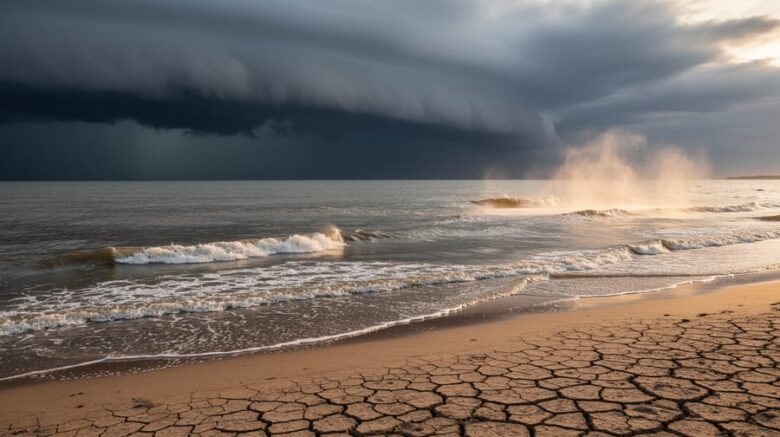
El Niño extreme weather amplification refers to the way El Niño conditions intensify the frequency and severity of droughts, floods, heatwaves, and storms across the globe by disrupting atmospheric circulation patterns and ocean-air heat exchanges. This naturally occurring warming of the tropical Pacific Ocean doesn’t just shift weather, it supercharges it, turning moderate events into extremes that strain infrastructure, agriculture, and public health systems.
Understanding this amplification matters now more than ever. El Niño conditions have officially formed in the tropical Pacific and are forecasted to strengthen, with winter 2026-27 expected to be milder overall across much of Canada but accompanied by an elevated risk of extreme weather events worldwide. That increased risk may extend into spring and possibly summer of 2027, bringing the potential for severe drought and wildfire in vulnerable regions.
For anyone working in renewable energy, emergency planning, or sustainable agriculture, recognizing how El Niño amplifies weather extremes helps you prepare infrastructure, adjust energy forecasts, and protect communities. Government health agencies are already examining key climate hazards such as extreme heat, wildfire, flooding, and drought, alongside their implications for population health. The same warming that makes one region’s winter unusually mild can fuel devastating heatwaves, water shortages, or floods elsewhere.
This article explains the mechanism behind El Niño’s weather amplification, identifies the types of extreme events it triggers, and explores practical applications for renewable energy planning and community resilience. Whether you’re an educator, energy professional, or climate-conscious reader, you’ll gain the knowledge to interpret forecasts and act on what’s coming.
What El Niño Extreme Weather Amplification Means
El Niño extreme weather amplification refers to how El Niño conditions don’t just shift typical weather patterns, they intensify them into extremes. During an El Niño event, unusually warm waters develop across the central and eastern tropical Pacific Ocean, disrupting the ocean-atmosphere system that normally keeps global weather relatively balanced. This disruption cascades worldwide, pushing droughts, floods, heat waves, and storms past their typical severity.
The key distinction lies in the word “amplification.” A regular El Niño event alters where rain falls or how warm certain regions become, but extreme weather amplification means those changes cross critical thresholds. What might have been a dry season becomes a severe drought. A wet winter turns into catastrophic flooding. El Niño acts like a volume dial on weather extremes rather than simply changing the station.
- El Niño
- A naturally recurring warming of ocean surface temperatures in the central and eastern tropical Pacific that disrupts normal atmospheric circulation patterns globally.
- Amplification
- The process by which El Niño conditions intensify weather events beyond typical variability, transforming ordinary dry periods into droughts or average storms into severe events.
- Tropical Pacific Warming
- The core physical process driving El Niño, where sea surface temperatures rise 0.5°C or more above average across a broad region of the equatorial Pacific Ocean.
- Weather Pattern Disruption
- The global-scale changes in atmospheric circulation, jet streams, and precipitation systems that occur when tropical Pacific warming alters the ocean-atmosphere energy exchange.
El Niño conditions have officially formed in the tropical Pacific and are forecasted to strengthen, increasing the likelihood of extreme weather events across many regions worldwide. This elevated risk extends into spring and possibly summer of 2027, with potential for severe drought and wildfire in some areas even as other regions face flooding. Understanding this amplification matters because it affects everything from renewable energy infrastructure to community preparedness planning, the impacts reach far beyond the Pacific where the phenomenon originates.
How El Niño Amplifies Extreme Weather Events

The Ocean-Atmosphere Connection
El Niño begins with a simple shift in ocean temperature, but its effects cascade globally through a powerful feedback loop. As surface waters across the central and eastern tropical Pacific warm, sometimes by several degrees Celsius above average, they pump enormous amounts of heat and moisture into the overlying atmosphere. This energy transfer fundamentally alters atmospheric circulation patterns thousands of kilometres away.
The warmed air rises vigorously over the heated ocean surface, creating low-pressure zones that pull in surrounding air and moisture. This rising motion strengthens the Hadley circulation and shifts the location of tropical convection eastward from its usual position near Indonesia. As the heated air ascends and spreads poleward at high altitudes, it influences the subtropical jet streams that steer weather systems across North America, Europe, and Asia.
These jet stream alterations are where ocean-atmosphere coupling affects jets most dramatically. The jets can shift hundreds of kilometres from their typical paths, stall in unusual positions, or intensify into faster rivers of air. A displaced jet stream redirects storm tracks, blocks normal weather patterns, and creates persistent conditions that allow extremes to develop, whether prolonged heat, relentless rainfall, or extended dry spells.
From Pattern Shift to Extreme Event
Once the atmospheric circulation reorganizes around El Niño’s warming waters, the shift doesn’t simply nudge weather patterns, it creates conditions that can turn manageable weather variability into devastating extremes. The altered jet streams and pressure systems act like amplifiers, intensifying both wet and dry conditions beyond their typical ranges.
Regions that normally receive moderate rainfall during El Niño years may instead face relentless downpours, overwhelming drainage systems and triggering widespread flooding. Conversely, areas pushed into drier circulation patterns don’t just experience reduced precipitation, they can plunge into severe, prolonged droughts that deplete water reserves and prime landscapes for wildfire. The same heat redistribution that warms the tropical Pacific can contribute to stubborn high-pressure systems elsewhere, trapping heat and fueling dangerous heat waves that stress power grids and threaten public health.
The distinction between a pattern shift and an extreme event comes down to intensity and duration. El Niño doesn’t create weather hazards from nothing, but it loads the dice heavily toward extremes, raising the higher likelihood of extreme weather events across the globe and extending that risk well into 2027.
Types of Extreme Weather Amplified by El Niño
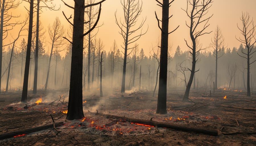
El Niño conditions don’t amplify all weather events equally, they target specific types of extremes based on how the Pacific warming redistributes heat and moisture across the globe. The same oceanic shift that brings mild winters to one region can trigger devastating drought thousands of miles away. Understanding which categories of extreme weather intensify during El Niño helps communities, energy operators, and emergency planners prepare for the elevated risks extending into 2027.
The primary categories of extreme weather amplified by El Niño include:
- Extreme heat events, prolonged periods of abnormally high temperatures that strain power grids and increase health risks
- Severe drought conditions, extended dry spells that deplete water reserves and reduce hydroelectric capacity
- Elevated wildfire risk, combination of heat and drought creating conditions for rapid fire spread and intensity
- Flooding and heavy precipitation, concentrated rainfall events that overwhelm drainage systems and damage infrastructure
- Temperature anomalies, unusually mild winters in some regions while others experience temperature swings
These extremes rarely occur in isolation. A region experiencing El Niño-driven drought often faces simultaneous extreme heat, compounding wildfire danger. Conversely, areas receiving amplified precipitation may see flooding followed by temperature shifts that stress both natural ecosystems and human infrastructure.
The geographic distribution matters as much as the event type. El Niño typically intensifies drought across Australia, Indonesia, and parts of southern Africa, while the Americas often experience enhanced rainfall along the Pacific coast and Gulf regions. Canada faces a complex picture: the current El Niño is forecast to bring milder winter conditions across much of the country, yet the elevated risk of extreme weather events remains through spring and possibly summer 2027.
Wind patterns shift dramatically during these episodes, altering where storms track and how intense they become. This affects renewable energy generation, wind farms may experience reduced output in traditionally gusty regions while other areas see unexpected increases. Solar installations face challenges from altered cloud cover patterns and extreme heat that reduces panel efficiency. The verification of these impacts comes from monitoring how current El Niño conditions are already reshaping weather across multiple continents, with forecasts showing strengthened patterns ahead.
Current El Niño Conditions and What to Expect Through 2027
El Niño conditions have officially formed in the tropical Pacific and are forecast to strengthen through spring 2027, bringing heightened extreme weather risk to regions worldwide. This isn’t a brief weather anomaly. The current El Niño event represents a sustained pattern shift that will influence global weather through at least the first half of 2027, with some forecasts indicating potential impacts extending into summer.
For Canada specifically, the outlook includes a milder winter across Canada for much of the country. This doesn’t mean weather extremes disappear. Regional variability remains high, and parts of the country could still face flooding, ice storms, or rapid temperature swings even as average temperatures trend warmer. The milder winter forecast applies to broad continental patterns, not every local weather event.
Globally, the strengthening El Niño raises the probability of severe droughts in parts of Southeast Asia, Australia, and southern Africa, while intensifying rainfall and flooding risks along the Pacific coast of the Americas. Heat waves may become more frequent and intense in regions already prone to high temperatures. The extended timeline into 2027 means energy infrastructure, agricultural planning, and community preparedness efforts need to account for sustained extreme weather potential, not just a single winter season. Renewable energy operators should prepare for altered wind patterns, variable solar conditions, and hydroelectric impacts from both drought and excessive rainfall depending on their location.
How El Niño Extreme Weather Affects Renewable Energy Systems
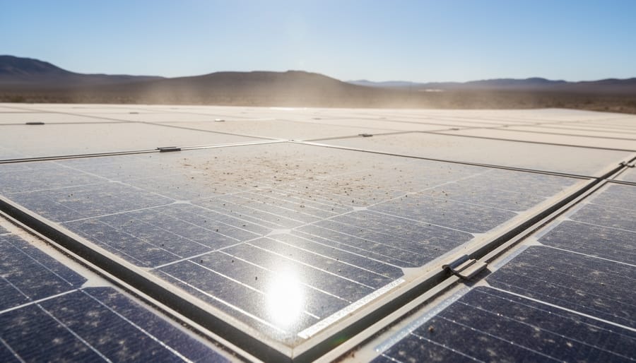
El Niño-driven weather extremes test renewable energy infrastructure in ways that are often overlooked in standard planning. Wind farms face unpredictable performance as altered jet streams and pressure systems shift wind patterns, some regions experience prolonged calm periods that slash generation, while others see gusts severe enough to trigger automatic turbine shutdowns for safety. These fluctuations add to existing wind energy challenges and complicate grid operators’ efforts to balance supply with demand.
Solar installations encounter dual threats: extended cloud cover in wetter El Niño zones reduces electricity production, while extreme heat in drought-affected areas degrades panel efficiency and accelerates equipment wear. Panels lose roughly 0.5% efficiency for every degree Celsius above their optimal operating temperature, meaning heat waves can cut output even under full sun. Hailstorms and high winds during amplified storm events also increase physical damage risk.
Hydroelectric facilities swing between extremes. Drought conditions deplete reservoirs and reduce water flow, forcing plants to cut generation or shut down entirely. Conversely, intense flooding can damage intake structures, overwhelm spillways, and force emergency releases that waste potential energy. Both scenarios disrupt the stable baseload power that hydro typically provides.
Key challenges for renewable energy systems during El Niño extreme weather amplification include:
- Wind energy: Reduced generation during calm spells and forced shutdowns during dangerous gusts.
- Solar power: Lower efficiency from extreme heat and reduced output from extended cloud cover.
- Hydroelectric: Water scarcity in droughts and infrastructure strain from flooding.
- Grid stability: Unpredictable output from multiple renewables simultaneously, complicating dispatch and reliability.
Grid operators respond by maintaining larger fossil fuel reserves as backup, which undercuts emissions reduction goals but keeps the lights on. The elevated risk of extreme weather extending into spring and possibly summer of 2027 means energy planners must account for prolonged volatility. As summer extreme weather becomes more frequent under El Niño conditions, infrastructure resilience planning shifts from theoretical exercise to operational necessity, diversifying energy sources, upgrading forecasting tools, and building storage capacity to smooth out supply gaps.
Health and Community Implications
Extreme weather amplification during El Niño poses direct threats to public health and community resilience. Heat waves intensified by altered atmospheric patterns increase the risk of heat-related illness, particularly among vulnerable populations including elderly residents, outdoor workers, and those without adequate cooling infrastructure. Drought conditions strain water supplies and agricultural systems, while heavy rainfall events create flooding hazards that can contaminate drinking water sources and displace communities.
The wildfire smoke impact becomes especially severe when El Niño conditions produce extended dry periods followed by high winds, a combination that both increases fire risk and spreads smoke across wide regions, affecting air quality and respiratory health far from the fire zones themselves. Emergency services face compounding challenges as multiple extreme events may occur simultaneously or in quick succession.
Community preparedness becomes essential during periods of elevated extreme weather risk. Forward-thinking municipalities invest in climate-resilient infrastructure including sustainable energy systems that maintain power during extreme events, improved drainage for flood mitigation, and early warning systems for heat and air quality. These investments protect residents while reducing the economic burden of disaster response. Supporting local renewable energy development strengthens community resilience by creating distributed power sources less vulnerable to widespread outages during extreme weather, ensuring critical services remain operational when populations need them most.
Common Questions About El Niño Extreme Weather Amplification
Many readers searching for information about El Niño extreme weather amplification have practical questions about how these events are identified, their likely duration, and what they mean for renewable energy systems. Here are answers to the most common queries.
How is an El Niño event officially declared?
Meteorological agencies declare El Niño conditions when Pacific Ocean temperatures in the central and eastern tropical regions rise at least 0.5°C above average for several consecutive months, combined with corresponding atmospheric changes. The formal declaration requires both oceanic warming and atmospheric response patterns to confirm the ocean-atmosphere coupling characteristic of El Niño.
What makes current El Niño impacts potentially more severe?
El Niño conditions have officially formed in the tropical Pacific and are forecasted to strengthen, which typically correlates with more pronounced weather disruptions. When El Niño develops strongly, it transfers greater amounts of heat energy into the atmosphere, amplifying the intensity of extreme events like droughts, floods, and heat waves beyond what normal climate variability would produce.
How long will the elevated extreme weather risk last?
The increased risk of extreme weather events may extend into spring and possibly summer of 2027, with potential for severe drought and wildfire depending on regional conditions. El Niño episodes typically persist for nine to twelve months once established, though their influence on weather patterns can linger as ocean temperatures gradually return to neutral conditions.
Can renewable energy systems handle El Niño weather extremes?
Modern renewable energy infrastructure incorporates design standards for extreme weather resilience, though El Niño amplification can test these limits. Wind farms face variable output from shifting wind patterns, solar installations must manage cloud cover changes and extreme heat effects on panel efficiency, and hydroelectric systems contend with both drought-reduced water flow and flood risks, making adaptive management and diversified energy portfolios essential strategies.
Understanding these fundamentals helps communities and energy planners prepare effectively. Staying informed through reliable weather forecasting services allows you to track storms and extreme weather as El Niño conditions evolve through 2027. The combination of scientific monitoring, infrastructure resilience planning, and public awareness creates the foundation for managing amplified weather risks while maintaining energy security.
Understanding El Niño extreme weather amplification isn’t just about following meteorological forecasts, it’s about preparing our communities, energy systems, and personal lives for a changing climate reality. With El Niño conditions now established and forecast to strengthen through 2027, the elevated risk of extreme weather events demands proactive responses across every sector.
For renewable energy infrastructure, this knowledge directly informs resilience planning and system design. For local communities, it guides public health preparedness and resource allocation. For individuals, it shapes everything from emergency kits to long-term sustainability choices.
Now is the time to act. Support renewable energy initiatives in your region that prioritize climate resilience and grid flexibility. Stay informed about evolving weather forecasts through spring and summer 2027, especially regarding drought and wildfire risk. Participate in local conservation efforts that build community capacity to handle weather extremes.
Climate challenges like El Niño amplification remind us that sustainable energy isn’t optional, it’s essential infrastructure for an uncertain future. Every action toward renewable power, water conservation, and community preparedness strengthens our collective ability to weather what’s ahead.