Vernon Air Quality Today: Real-Time Conditions and Wind Patterns Affecting BC Interior
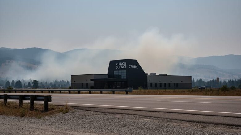
Vernon Science Centre in the BC Interior with light wildfire smoke drifting across the Okanagan Valley under overcast light, suggesting changing air quality conditions influenced by wind.

Vernon’s air quality currently sits at a moderate AQI of 88 at the Vernon Science Centre monitoring station, meaning most people can safely enjoy outdoor activities while sensitive groups should consider limiting prolonged exertion. The reading places conditions in the yellow “moderate” zone on Canada’s Air Quality Health Index, though reports indicate some areas are experiencing unhealthy conditions for sensitive …

What Is the CanREA 2050 Vision? (And Is It Too Ambitious?)

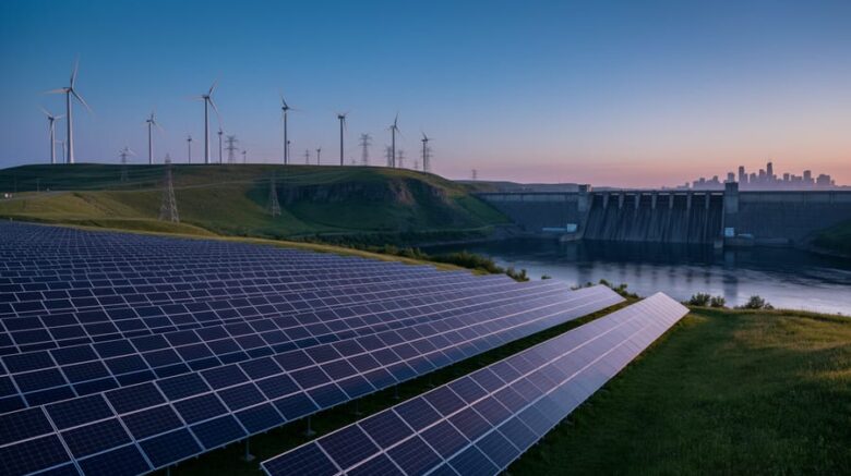
Wind turbines, solar panels, and a hydroelectric dam in a Canadian landscape at dusk, symbolizing a shift to a renewable electricity future.

Canada’s 2050 Vision for renewable energy isn’t bad. It’s ambitious, challenging, and necessary if the country wants to meet its climate commitments and transition to a net-zero economy. The question itself reveals a common concern: can renewable energy really power an entire nation by mid-century, or is this roadmap too optimistic to be credible? The Canadian Renewable Energy Association’s 2050 …

What Is Weather Air Quality (and How Does It Work)?

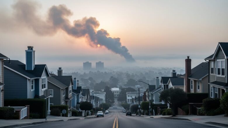
Hazy town skyline with drifting wildfire smoke in the sky, suggesting how wind and weather affect air quality.

Weather air quality refers to how atmospheric conditions like wind speed, temperature, and precipitation affect the concentration and movement of pollutants in the air we breathe. When you check your local air quality forecast, you’re seeing the combined influence of both human-made emissions and the weather systems that disperse, trap, or transport those pollutants across regions. Key Takeaway: Wind patterns …

Environment Canada Air Quality: How to Access Data, Understand the AQHI, and Monitor Local Conditions

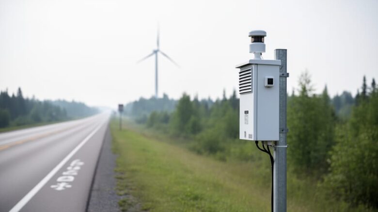
An air-quality monitoring station near a roadside with wind turbines in the distance under overcast daylight, suggesting local air quality tracking.

Environment Canada’s Air Quality Health Index (AQHI) provides a real-time scale from 1 to 10+ that translates outdoor air pollution levels into immediate health guidance you can act on today. Whether smoke from distant wildfires is drifting into your region or local traffic emissions are peaking, checking the AQHI takes less than two minutes and tells you exactly when to …

Why Air Quality Maps Are Your Best Defense Against Wildfire Smoke

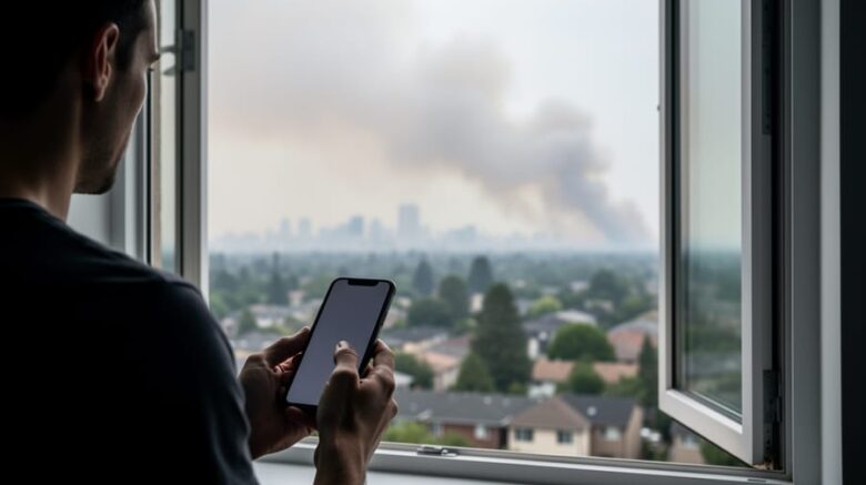
Person holding a smartphone near an open window as wildfire smoke fills the neighborhood air.

Air quality maps give you real-time data on pollutant levels in your neighborhood, tracking particulates like PM2.5 and ozone so you can make immediate decisions about outdoor activities, window ventilation, and whether vulnerable family members should stay inside. These digital tools translate complex atmospheric data into color-coded visualizations, turning “unhealthy” and “hazardous” from abstract terms into actionable warnings you can …

How to Track Storms Near Chipman Using Real-Time Weather Radar

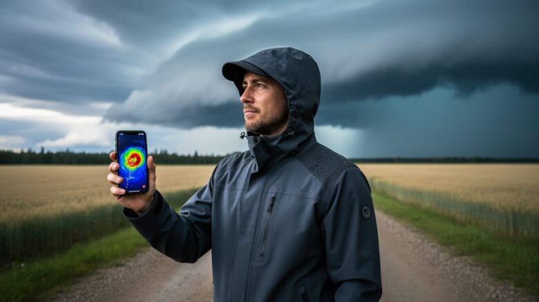
“Person holding a smartphone to check real-time storm radar while observing storm clouds near Chipman from outdoors.”

Tracking storms near Chipman is straightforward: access real-time weather radar through Environment and Climate Change Canada’s network or Weather Underground’s Chipman station page, then watch for precipitation patterns, movement direction, and intensity changes to make informed decisions about outdoor activities or travel. This process takes just minutes and requires no special equipment beyond internet access, but understanding how to read …

Why Sicamous Air Quality Just Hit Unhealthy Levels (And What You Need to Know)

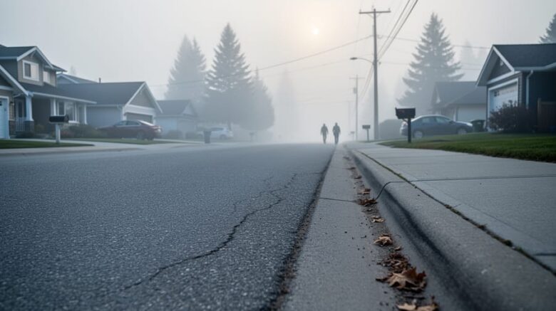
A quiet residential street in Sicamous obscured by smoky haze, with indistinct silhouettes of people in the distance.

Sicamous residents are breathing unhealthy air right now, with the Air Quality Index (AQI) measuring 106 and PM2.5 particles identified as the dominant pollutant. If you or your family members are children, older adults, or have lung disease, avoid outdoor exertion until conditions improve. Current readings from the Personal Weather Station Salmon Arm classify conditions as “Unhealthy for Sensitive Groups,” …

Extreme High Temperature Warnings Are Here – What They Mean and How to Stay Safe

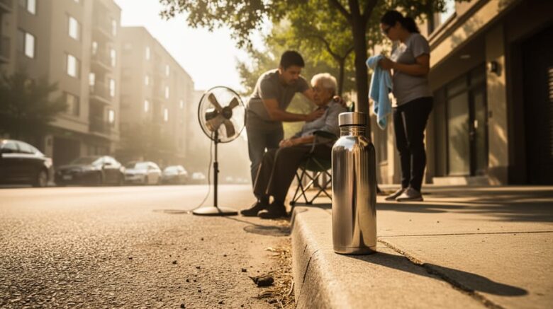
People providing shade and cooling while staying hydrated on a very hot urban street during an extreme temperature warning.

An extreme high temperature warning is issued when meteorological agencies forecast dangerously hot conditions that pose immediate health risks, typically when daytime temperatures exceed 32-35°C combined with high humidity and limited overnight cooling. These alerts trigger official guidance to stay hydrated, check on vulnerable neighbors, never leave children or pets in vehicles, recognize heat illness symptoms, and call emergency services …

What Is the Air Quality Health Index (and How Wind Patterns Shape Air Quality Across Canada)?

A person jogging and a family walking on a Canadian street as light wildfire smoke drifts through the air, creating a hazy atmosphere that suggests changing air quality.

Current air quality refers to the concentration of pollutants and particulate matter in the atmosphere at this moment, measured and reported through standardized health indices that tell you whether the air outside is safe to breathe. In Canada, Environment and Climate Change Canada tracks these conditions through the Air Quality Health Index (AQHI), a scale from 1 to 10+ that …